• Stages
  • Round Trip
  • Planning
Go to map

Discover Hærvejen - a historic hiking and cycling route through Jutland that has connected people and cultures for centuries

  • Routes
    • Hiking
    • Biking
    • Two-day trips
  • Planning
    • Packing lists
    • Tips and tricks
  • About Hærvejen
    • History
    • Contact
    • FAQ
    • Hærvejs passport
    • Privacy policy
    • Give feedback on web and app

The content of this page was generated with AI assistance


Hærvejen er støttet af Nordea-fonden
© 2025 Hærvejen
  1. /
  2. Bølling Sø near Silkeborg

Bølling Sø near Silkeborg

7442, Engesvang
Bølling Sø near Silkeborg
Photo: Carsten Dall
Bølling Sø near Silkeborg
Photo: Carsten Dall
Bølling Sø near Silkeborg
Photo: Carsten Dall
Bølling Sø near Silkeborg
Photo: Carsten Dall
Bølling Sø near Silkeborg
Photo: Carsten Dall
Bølling Sø near Silkeborg
Photo: Carsten Dall
Bølling Sø near Silkeborg
Photo: Carsten Dall
Bølling Sø near Silkeborg
Photo: Carsten Dall

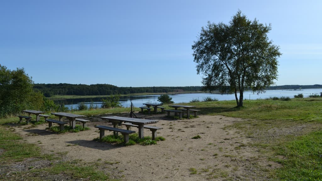
Bølling Sø is a recreated lake between Engesvang, Funder and Kragelund parishes in Central Jutland. The lake, which has a surface of 360 hectares, was recreated in 2004 - 2005 on the waterfront west of Silkeborg.

There was a lake on the site until it was dried up in the 1870s in an attempt to get more agricultural land. It never succeeded in getting the area particularly dry, but the large marsh area was heavily utilized for peat digging, especially around World War I and World War II. Bjeldskovdal is the name of a marsh area on the east side of Bølling Lake, where the Tollund man was found.

The Tollund Man is on display at Museum Silkeborg - see more about Museum Silkeborg here.

See what others are sharing on Instagram

#bøllingsø #visitsilkeborg #visitaarhusregion

Contact

Websitehttps://www.museumsilkeborg.dk/b%C3%B8lling-s%C3%B8